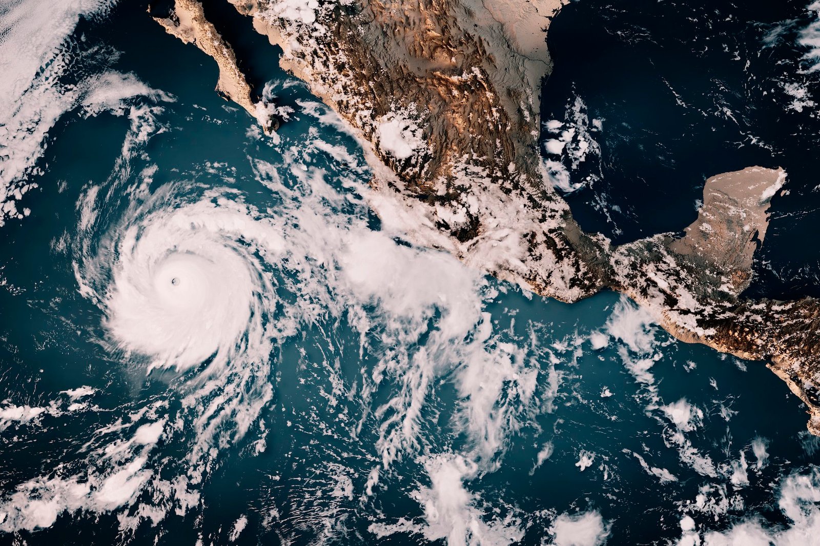
By now, you’ve seen the headlines, and there’s more of them every day: It’s “jaw-dropping.” It’s poised to make global warming worse. California has just declared a statewide state of emergency. This year’s El Niño — a shift in Pacific Ocean trade winds that scrambles global weather patterns — has been hotly discussed as one of the strongest on record, and one that could bring about potentially disastrous consequences. One study projects that it may cause as many as 451,000 heat-related deaths around the world by February.
The current El Niño has also been given an array of eye-catching descriptors. When Jeffrey Shaman, a climatologist at Columbia Climate School, heard the phrase “super El Niño” for the first time earlier this year, he said, “I literally googled it.” The phrase isn’t officially used by the National Oceanic and Atmospheric Administration or the World Meteorological Organization. But he still sees value in the label as a way of communicating the significance of this year’s likely unprecedented El Niño to the general public.
“It’s colloquial, and there’s nothing wrong with that at all,” Shaman said.
By all accounts, this year’s El Niño will also give the world a glimpse into a future of unabated warming due to the burning of fossil fuels — and an opportunity to change course before the worst effects occur.
 Back up — what is El Niño?
El Niño is a naturally occurring weather phenomenon that begins when sea surface temperatures in the Pacific Ocean rise above average. Although it doesn’t occur on a set timeframe, it tends to happen every two to seven years. Typically, trade winds blow east to west across the Pacific and push warm ocean water along the equator toward East Asia. But during an El Niño year, these winds slow down and sometimes reverse. The warm water that typically gets dragged westward sloshes back, now toward the western coast of the Americas.
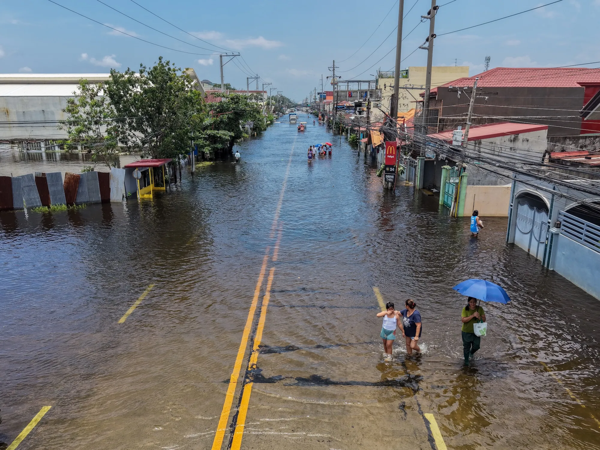
This change in sea surface temperatures has ramifications far beyond the Pacific. It drives extreme weather across the globe, threatening crop harvests in several key agricultural regions, as well as worsening both drought and severe rainfall.
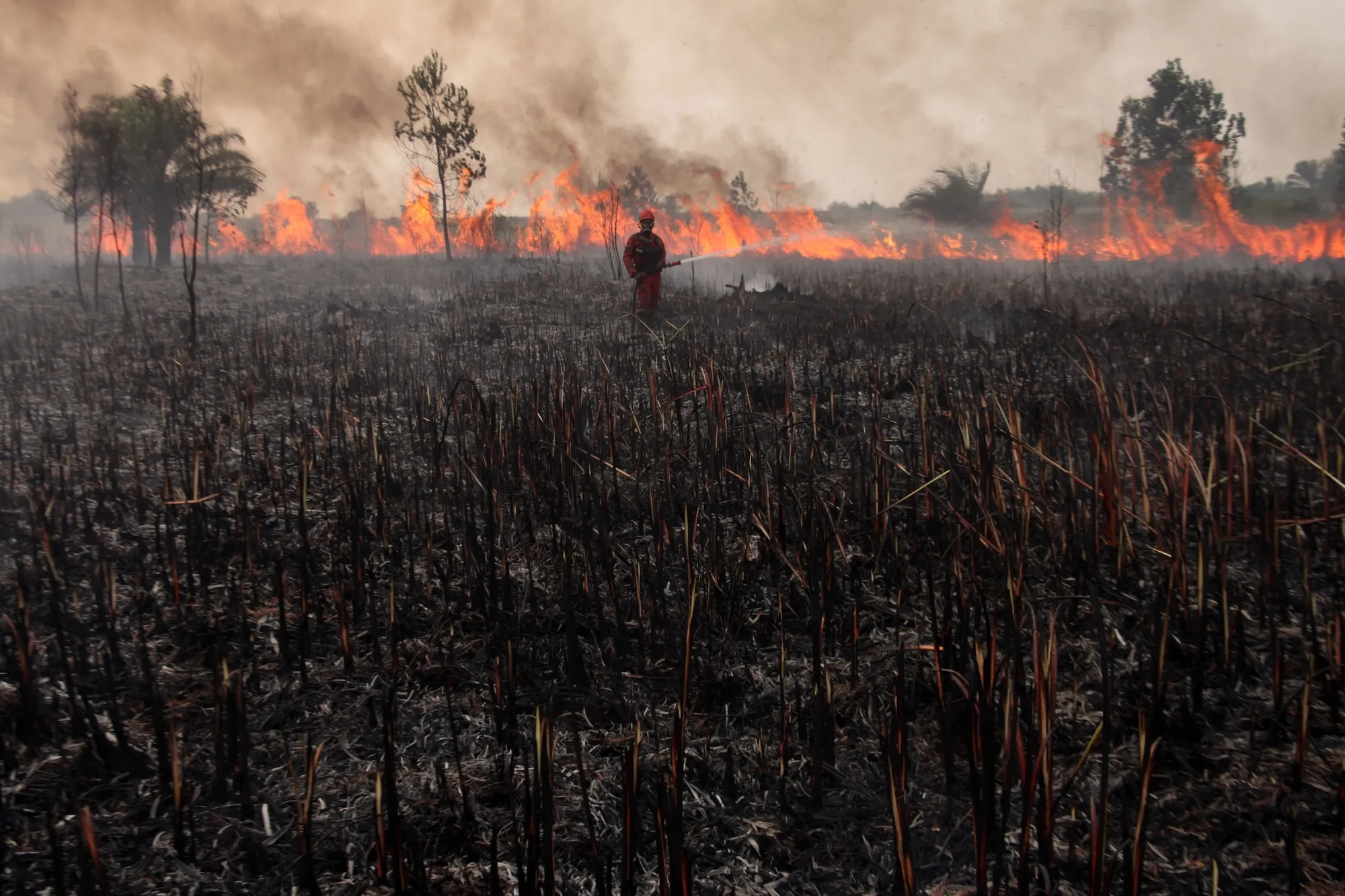
The impact of climate change on El Niño is complex. Research has shown that global warming has led to more frequent El Niños. But El Niño events are also associated with jumps in global mean surface temperature — or the average temperature of the Earth itself, a measure commonly used as a stand-in for climate change. It’s not easy to delineate how much additional warming is from El Niño and how much is from climate change, but what is clear is that the combination will be devastating. This year may turn out to be the hottest year on record, and 2027 may be even hotter. It could be a preview of the typical levels of warming the world might see by 2040, according to one high-end estimate.
Scientists don’t know exactly how that combination will play out. “It’s going to be a very, very strong event occurring against a backdrop of very rapid global warming,” said Christopher Callahan, a climate scientist at Indiana University. “I think we’re going to, unfortunately, learn a lot this year,” he said.
 What makes this El Niño ‘super’?
There are many ways to measure the strength of an El Niño event. (NOAA keeps track of several of them here.) Some measure the sea surface temperature in different regions of the Pacific; there’s also indexes that take into account atmospheric changes as well as oceanic ones. The one used most often today is called the “Niño 3.4 anomaly.” In the U.S., in order for NOAA to declare an El Niño event, warming in this region of the Pacific must be 0.5 degrees Celsius above normal. If warming is 1 degree above normal, that gets labeled as “moderate”; if it’s 1.5 degrees above normal, then it counts as “strong”; and if it’s 2 degrees above normal, then it’s considered “very strong.”
The term “super” is broadly considered to be synonymous with “very strong.” However, a recent analysis of sea surface temperatures by Carbon Brief, released this week, shows that as of Monday, warming in the Niño 3.4 region reached 3.11 degrees.
That number is significant, because it means this year’s El Niño has already broken the record for the strongest El Niño, which peaked in November 2015.
El Niño events typically peak around December or January. (Fun fact: The phenomenon was named El Niño by South American fishers who noticed its timing and associated the warmer temperatures with the story of baby Jesus.) It’s possible that sea surface temperatures in the Pacific will drop over the next few months. However, that looks increasingly unlikely. Sea surface temperatures in June, July, and August were the warmest we’ve ever seen, and forecast models show that there is now a 90 percent chance that this El Niño will stay “very strong” through the end of the year.
“I was a little bit skeptical earlier this year of some of the more dire predictions,” said Callahan. But as more data kept coming in, he said, it became clear “that we’re going to see a generationally strong event this year.”
 Where did the phrase ‘super El Niño’ come from?
While it might sound like a phrase an overzealous journalist invented, “super El Niño” was actually coined by scientists — a fact that surprised Jovana Vurdelja, an ecolinguistics researcher in Serbia. “I really thought it was just media sensationalism,” she said. The phrase first appeared in a 2003 paper looking at how a strong El Niño can be followed by a strong La Niña, its cooler counterpart, according to Vurdelja.
“Super El Niño” has taken off in English-speaking countries but also across Europe, where it’s been adopted by speakers of Serbian, Norwegian, Italian, German, French, Croatian, and other languages.
When extraordinary weather is on the way, people reach for amped-up language to communicate the scale of the hazard. But finding the right word to match that danger is like trying to find the right shoe size, Vurdelja said. The language can be too small, minimizing the threat, or it can be too big — exaggerations that can lead to nihilism or desensitization. “It’s extremely important that the word communicates the seriousness, the magnitude, the severity of the event itself,” Vurdelja said. She thinks “super El Niño” hits the mark, since it’s been embraced by scientists and the media alike.
 What comes after ‘super El Niño’?
If super El Niños become a common occurrence — that is, if warming in the Pacific regularly reaches 3 or more degrees above normal — the language we use to describe these events may need to evolve. Some scientists have already suggested that the phrase du jour doesn’t go far enough: “This is going to be so far beyond a super El Niño, if the models are right, that we sort of need a new term for it,” the climate scientist Zeke Hausfather said in the podcast Shift Key last month.
We’ll “need stronger words, stronger language, and that’s when we get into this spiral,” Vurdelja said. That’s how you end up with scientists reaching for words like “mind-bogglingly crazy” and “gobsmackingly bananas” (a phrase Hausfather coined) to describe record heat. The term “Godzilla” El Niño, now taking off in news headlines, was coined by NASA climate scientist Bill Patzert in 2015.
The official categories for what counts as a strong El Niño used to make sense. “We hadn’t gotten above 2 degrees Celsius except occasionally,” Shaman said, and so the language experts initially settled on “seemed like a reasonable place to be.”
Whatever you call it, the most important thing will be planning for the potential impacts of this very strong El Niño — to understand what it means for food production, hydropower generation, public health, and extreme weather in the coming year. Given California’s recent state of emergency declaration, for now, maybe “super” will do just fine.